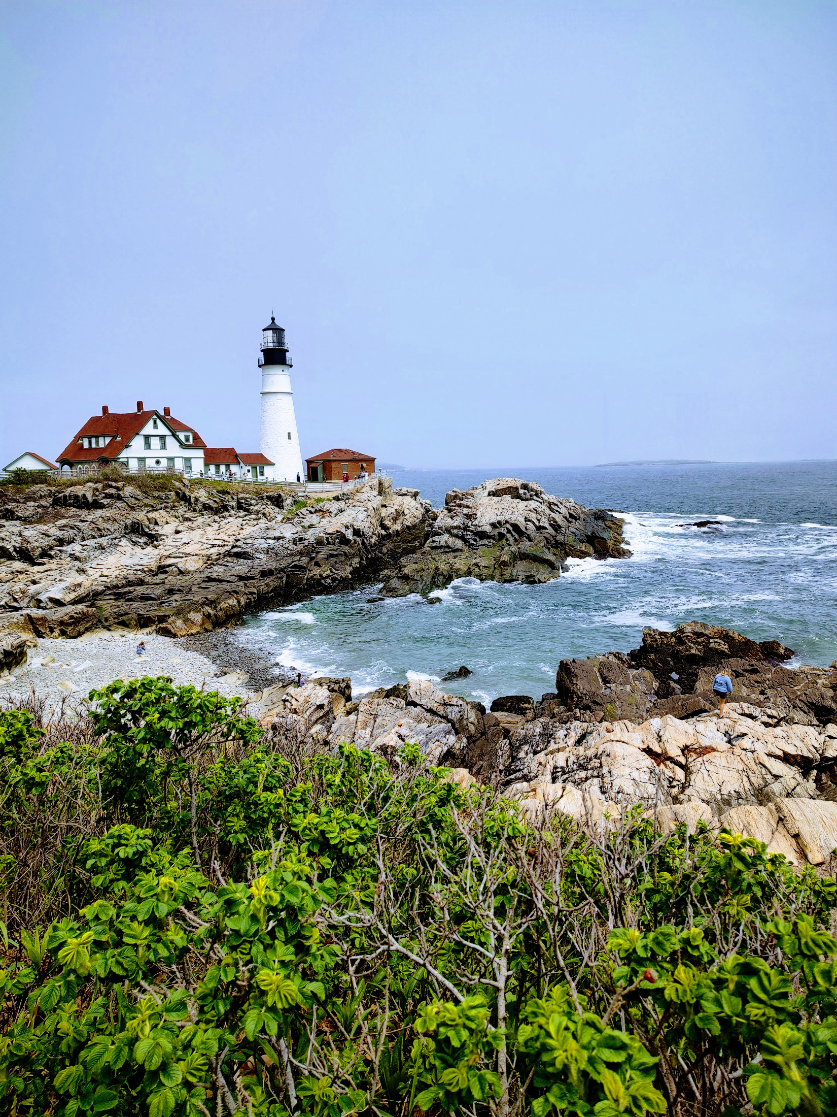
Signal Hill Musings, Nov. 2017 ed., by Tom Shafer and Richard Seifried
Once again, these are never-ending exploits of two L&Cers (Lewis and Clarkers) from their semi-historic 2009 trip from St. Louis to one of our funniest oceans, the Pacific (What did the Pacific Ocean say to the Atlantic Ocean? Nothing, it just waved!). Journaling from the road for family, Richard and son-in-law Tom have now made their way to the coast of Oregon. Spoiler alert: the Corps of Toyota Four-Runner (the choice of transportation for our journey) grows by two!
Sent: Friday, June 26, 2009 2:42 AM
Subject: It’s just water!
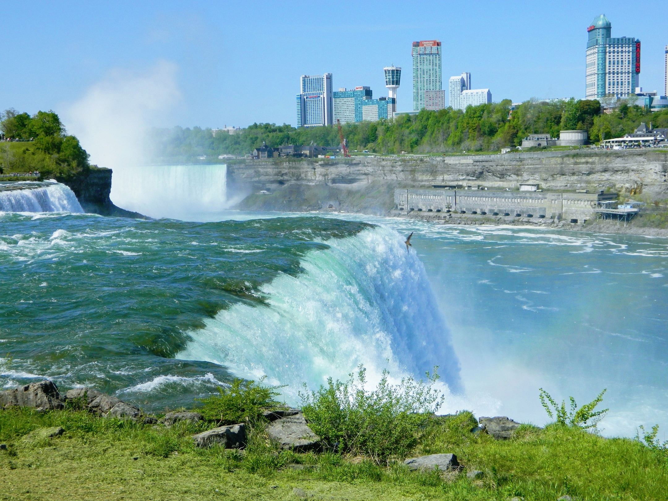
Hello all!! Okay, so we’ve driven 3700 miles, we’ve eaten 673,456 french fries, we’ve been lost seventeen times, and we’ve visited 371 Lewis and Clark museums (oh, and I’ve lost Richard four times). Here we are, finally, at the Pacific Ocean, the object of our desire and attention for many days. We’ve thought about the many hardships experienced by the Corps of Discovery, and the wonder and awe they must have felt as they crossed our great land. And what was it all about? It was all about water. Water??? We came all this way to see a big pile of water??? Who knew this??? I mean, I shower in water. I brush my teeth using water. I wash dishes with water. I sometimes drink water. Water??? Okay, so it’s saltier than my water back home, but it’s still water. Where’s Wally World or the world’s biggest ball of twine? All right, it was historic and epic and heroic and probably other -ics. I get it now. Lewis & Clark are big men on campus and the rest of us are merely their nose hairs. Rant aside, of course, the ocean wasn’t the only goal for the expedition: finding a navigable continental water route (which they didn’t), scientifically exploring and mapping our new Louisiana Purchase (for which they were immensely successful), initiating friendly relationships with Native Americans along the route (check√) – these were the most important purposes.
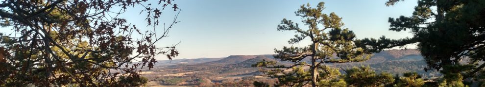
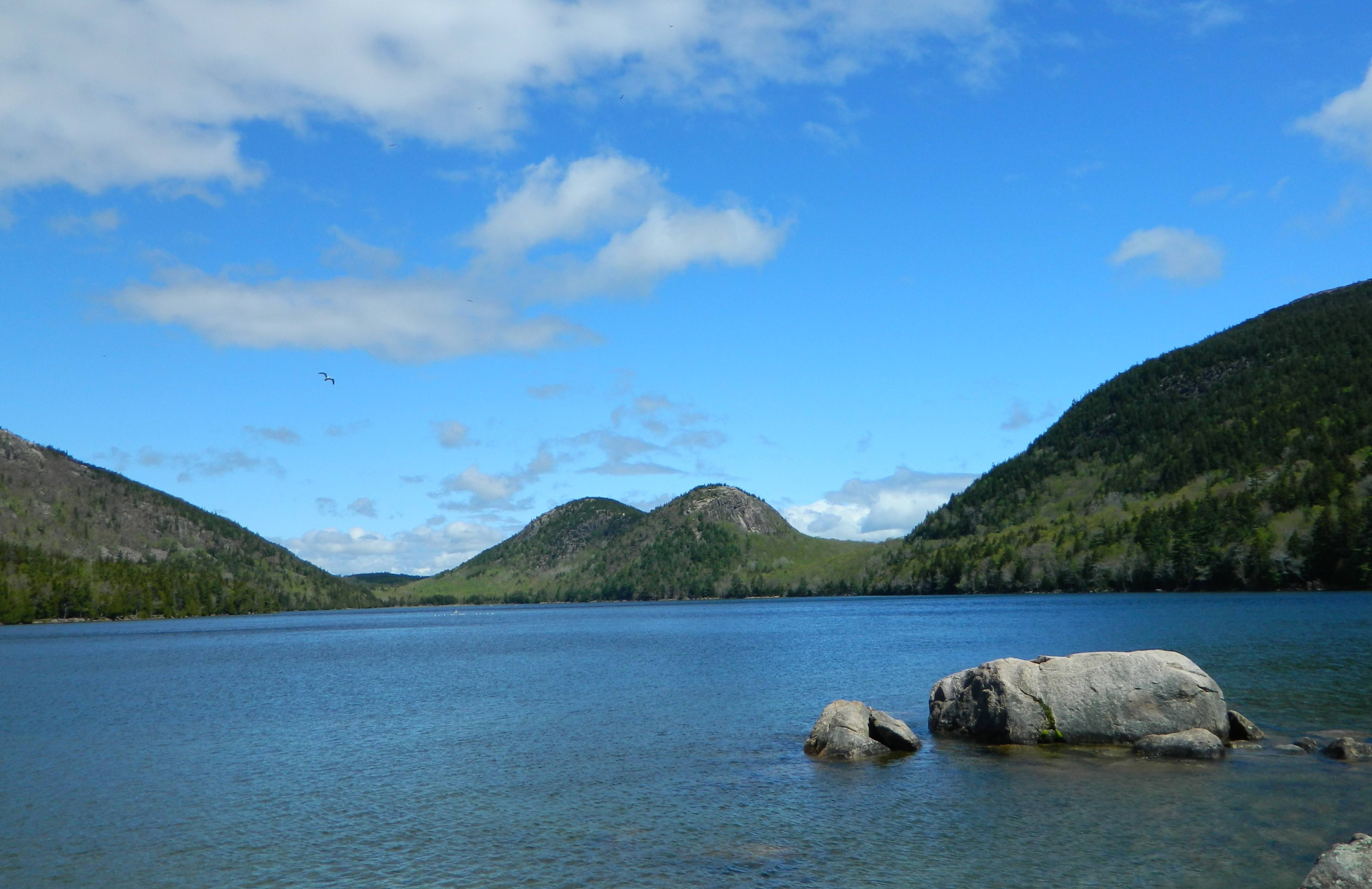
As for us, we’ve had another wonderful day. It started for me with the steep climb of Beacon Rock, an almost 900 foot monolith that juts boldly above the Columbia River. Richard was adamant that I do this hike so while I

Beacon Rock (center of picture) on the Columbia River, the beginning of tidewater
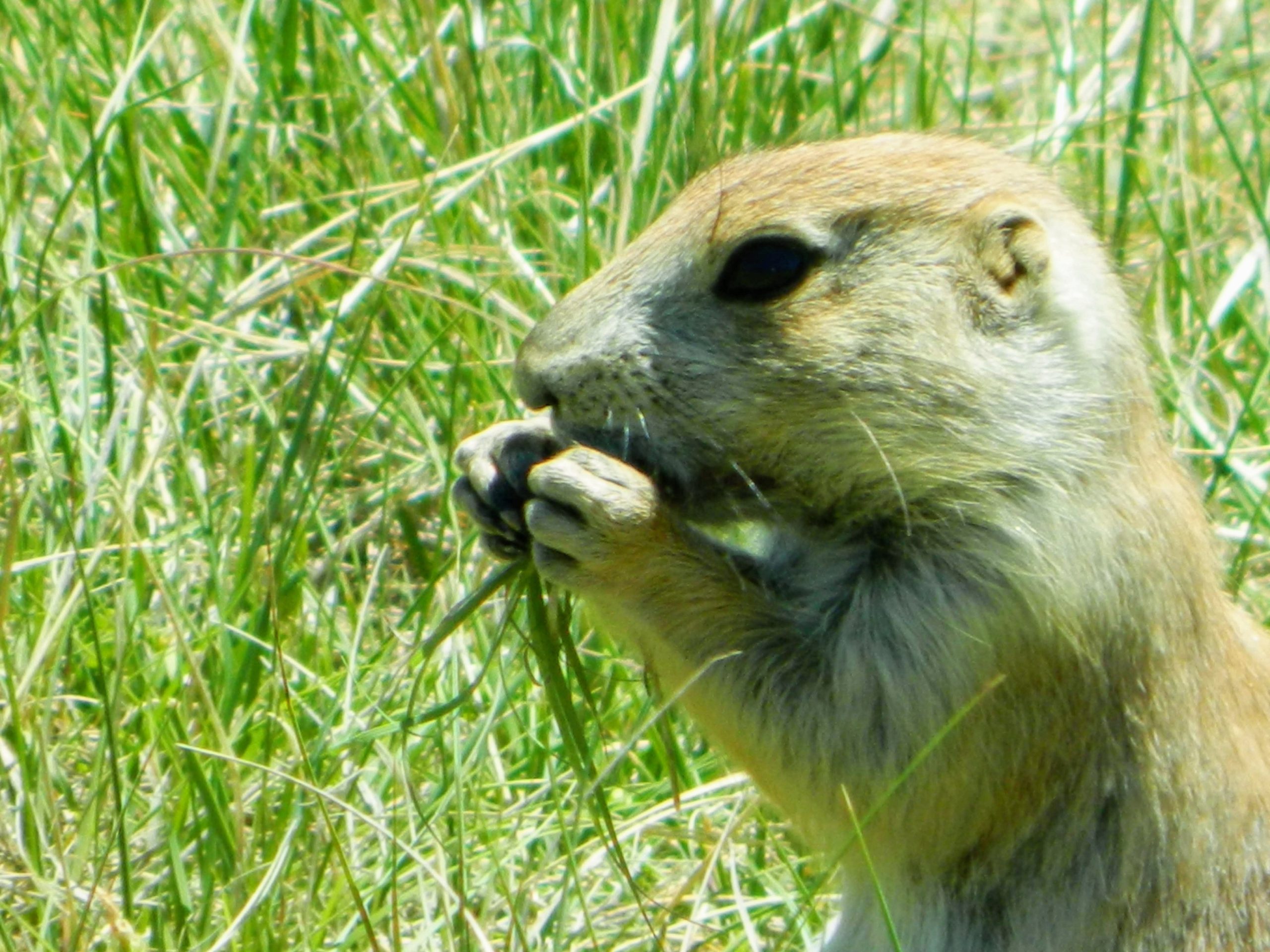
trudged to the top, he explored the river gorge, studying the river agate and taking pictures of wildflowers and the beautiful gorge itself. For Lewis, Beacon Rock marked the end of the last difficult rapid on the river and the beginning of tidewater, a sure sign that the ocean was near. The climb is difficult because it is quite precipitous and exposed, and certainly not for those afraid of heights. Because we got there so early (7 a.m.), I had the rock to myself and had a great time. I somewhat raced to the top (it was spitting rain and the horizon looked a little ominous) but took my time coming down because the weather had improved — lots of pictures taken and chipmunks fed (granola bar!).

View of the last rapid on the Columbia (from halfway up Beacon Rock)
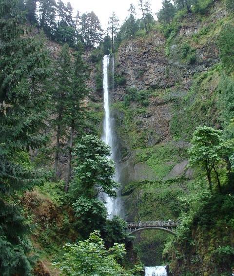
Then, we took in all of the waterfalls along Oregon’s waterfall row — they are spectacular and picturesque! The concentration of waterfalls along this section of the Columbia is remarkable; in fact, you can’t swing a horsetail falls without hitting several cascade falls or alluvial fans (sorry, my geology geek is showing – does my love of waterfalls make me sedimental?). And speaking of water, if H2O is the formula for water, what is the formula for ice? H2O cubed! Okay, back to the waterfalls, we decided to visit three of them: Bridal Veil, Multnomah, and Latourell. Multnomah is perhaps the most striking of them – and most famous – and also enjoys the best creation

Full view of Multnomah Falls, Oregon

The base of Multnomah Falls (is that a maiden in the mist?)
story. The Multnomah tribe and numerous local natives were enjoying a weeklong wedding celebration when many were struck by a killing sickness. An old medicine man told the chief that unless one of the tribe’s young virgins was sacrificed to the gods, all of the Multnomah would succumb to the illness. Being skeptical, the chief refused to sacrifice any of the young women. However, when the groom-to-be fell ill, the bride-to-be – and the chief’s daughter – threw herself in sacrifice from a high cliff above the Columbia. The tribe quickly began healing from the sickness, and no more of the Multnomah died. When the chief found his daughter at the base of the steep cliff, he cried out to the gods for a sign that his daughter’s sacrifice had appeased them. Immediately, water began falling from the top of the cliff, and it continues to this day. Legend also has it that the young maiden haunts the pool below the falls. We briefly explored the area for her, but hunger called so we abandoned our search – that and the fact that I had left my ghost hunting equipment in the car.
As we were walking off the trail, we were somewhat startled to hear the ghostly call “Tom Shafer?” come from the parking lot. Unfortunately, it was not the spectral uttering of a Multnomah maiden, but the raspy, unnatural voice a very good friend of mine from Dayton. What a hoot!! After chatting with him for a few minutes, it was time to make our way to the coast and our home for a few days. We had a nice lunch of fish and clams in another quaint river town and then enjoyed yet another lovely drive to Long Beach, Washington. After playing a clever game of phone tag with Steve Seifried (Richard’s son), we finally hooked up and all of us took a surprisingly long walk to the beach. After a sumptuous feast of seafood (thanks Steve!) at a local mom & pop restaurant, I lie here slowly digesting halibut while listening to the ocean waves crash outside. Well, that’s it from the Pacific Ocean, one of the planet’s saltiest and wettest oceans (about 187,000,000,000,000,000,000 – or 187 quintillion – gallon-sized milk containers if you’re counting). L&Cers say OCEANS RULE!!
Sent: Saturday, June 27, 2009 1:58 AM
Subject: Let the forts be with you!

Common (not fancy) foxglove, Fort Columbia State Park
Hello all! Well, we had a very busy day here in the Astoria area. Richard, Steve, Nicholas (Steve’s son), and I had a hearty breakfast and immediately made the local fort scene. We started at Fort Columbia Historical State Park, which is more a post Civil War and WWII site. It guards the Columbia River port area, and during the WWII coastal scare (Japanese submarines) was a very active base with big four inch and six inch guns — and mines in the bay. It is a very well-maintained park, and it was fun to climb into the batteries, gun turrets, and ammunition bays.

Six inch gun and turret at Fort Columbia State Park
We then moved on to a replica of Fort Clatsop (at Lewis and Clark National/State Historic Park near Astoria at the mouth of the Columbia), home to Lewis and Clark and boys (and Sacagawea and little Jean Baptiste) during the winter of 1805-06. Yet another fine interpretive center, this one offers a re-creation of the fort built by the boys to help withstand the cold and wet northwestern winter. We walked a couple of trails and had a nice lunch in the picnic area.

Sacajawea (and little Jean Baptiste), with Lewis and Clark (?) just outside Fort Clatsop
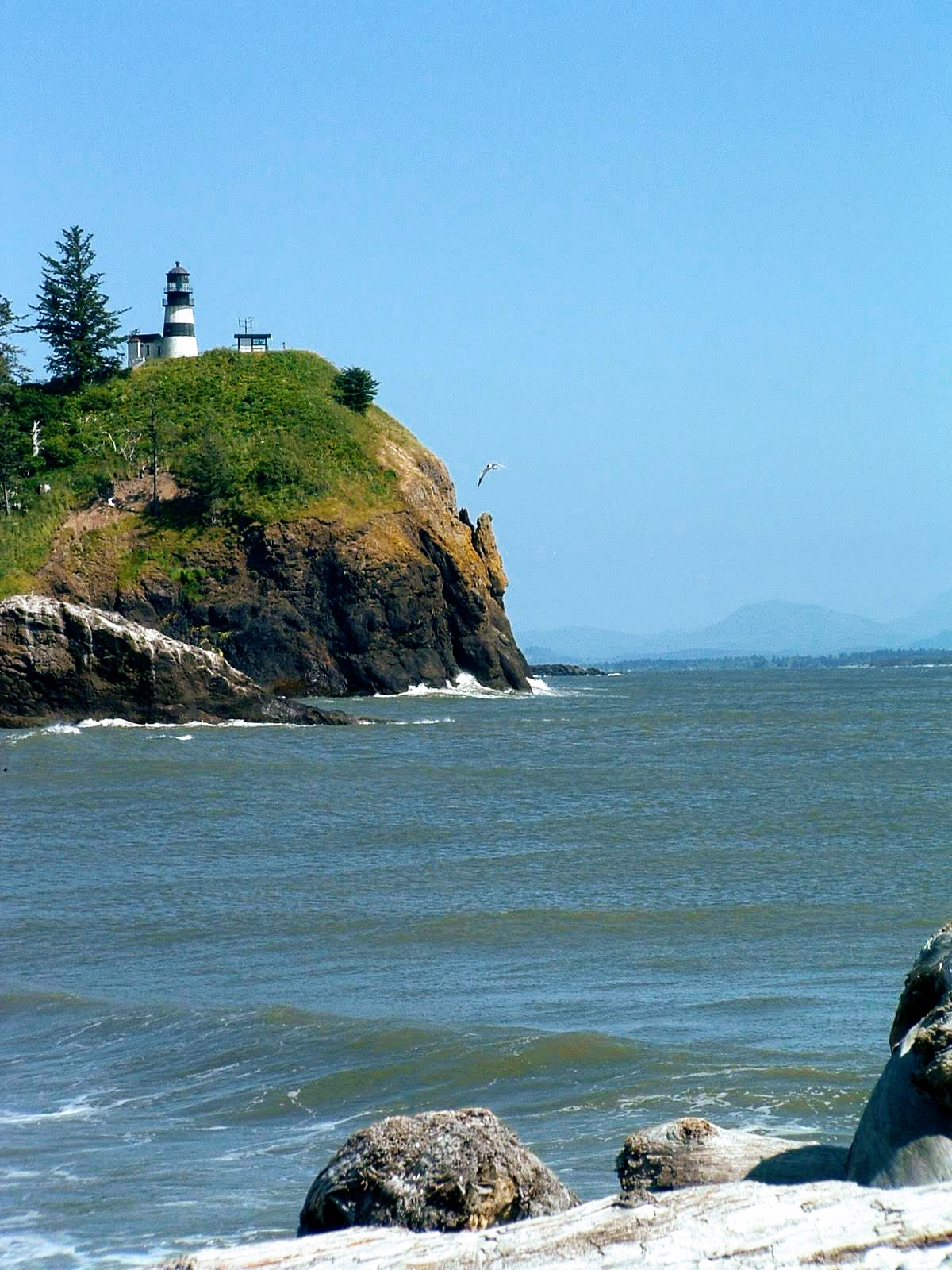
After a quick stop to buy food for a dinner barbecue, we finally reached the culmination of our journey, Cape Disappointment, the most western point reached by Lewis and Clark. Again, this is another solid interpretive center that focuses on the over-wintering in 1805-1806. The center is positioned high on a bluff overlooking the port and affords a very nice view of Astoria and the Cape Disappointment Lighthouse.

Cape Disappointment Lighthouse, from (or close to) Steve and Nicholas’s campsite,
where there was no dinner disappointment!
After our tour, we drove to Steve and Nicholas’s campsite for dinner, wine, and spirited conversation. Surf-n-turf was on tonight’s menu — actually it was beef kabobs, some wonderfully fresh salmon, and corn on the cob. Because of some technical issues with heating sources (I tried unsuccessfully to light the fire primitively with a hand drill and our portable barbecue grill just didn’t get hot enough), dinner took about two hours to complete. However, with the spirit of Lewis and Clark guiding us — oh, and the wine — we somehow persevered and managed the evening quite nicely. Now, as I lay my head to pillow with the sound of crashing waves in the distance, I dream of breakfast with a nice three egg veggie omelet and crispy bacon to accompany it — oh, that and world peace.
Sent: Sunday, June 28, 2009 10:53 PM
Subject: L&Cers head east!
Hello all! Here we are back in Cascade Locks, Oregon, once again looking out the window down onto the Columbia River. A sternwheeler just passed below, going upstream toward Portland. We’ve had a couple of great days, the first with Steve and Nicholas along the coast of Oregon, and today at Mt. St. Helens National Monument. On Saturday, the four of us hit the road heading south, destination Tillamook Head. We enjoyed driving through many coastal towns — including the busy tourist areas of Seaside and Cannon Beach. At Cannon Beach, we strolled across the sand and reveled in the scenery — including the monolith Haystack Rock. While there, I

Haystack Rock on Cannon Beach, Oregon
scoured the beach for a trinket or two, and found one worthy of Julie (one of Richard’s special daughters). For lunch, I followed a long time rule of the road; if you see a restaurant with an animal on the roof, you must eat there. In Manzanita, we found such a place, Manzanita Seafood and Chowderhouse – they have a giant crab on the roof! We ate outside and enjoyed an excellent seafood meal.

From there we made our way slowly north and wound up at our motel, where Steve checked in for the evening. While Nicholas and Richard took naps, Steve and I hit the local laundromat (after a side trip to the liquor store for some cleansing inspiration) to clean and air our dirty laundry. Later in the afternoon, and after another nice shoreline drive, we decided to go authentic coastal Washington and had dinner at a local Chinese joint. Again, we had an enjoyable meal and evening before bedding down for the night. This morning, after an early and tearful goodbye with Steve and Nico — okay, it wasn’t tearful, touching maybe — Richard and I headed to Mt. St. Helens.

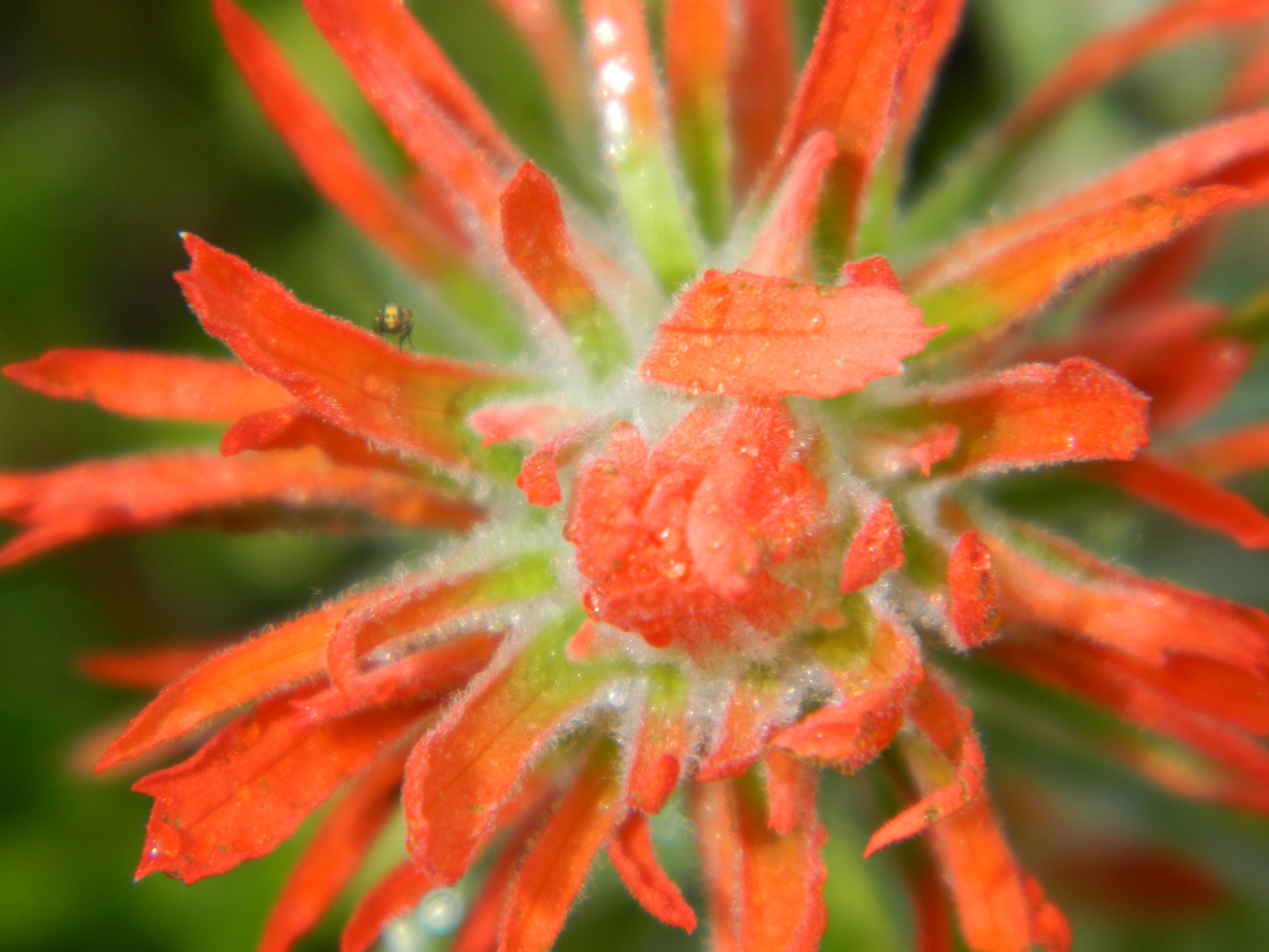
Indian paintbrush (one of our fav flowers) at Mt. St Helens
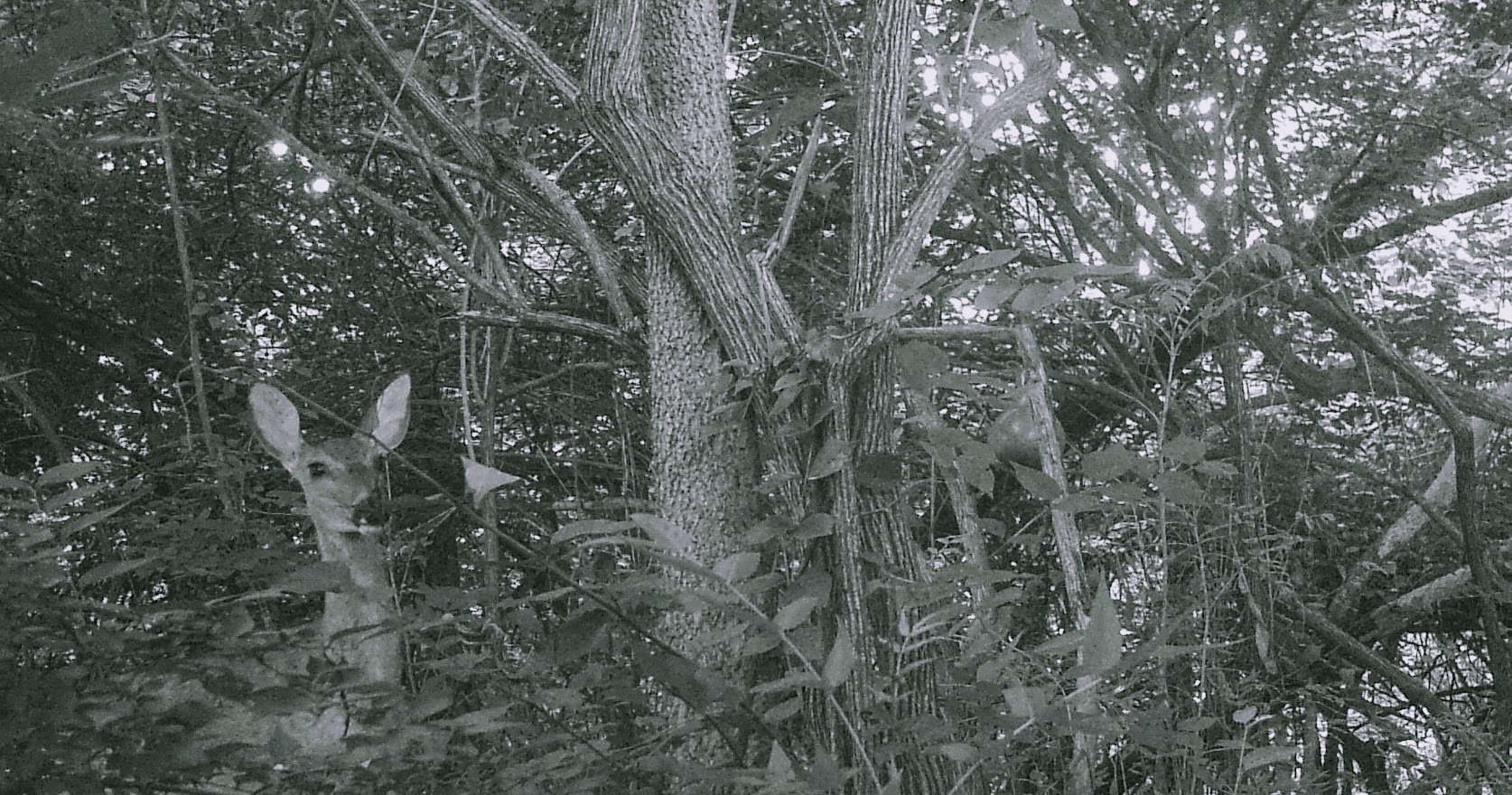
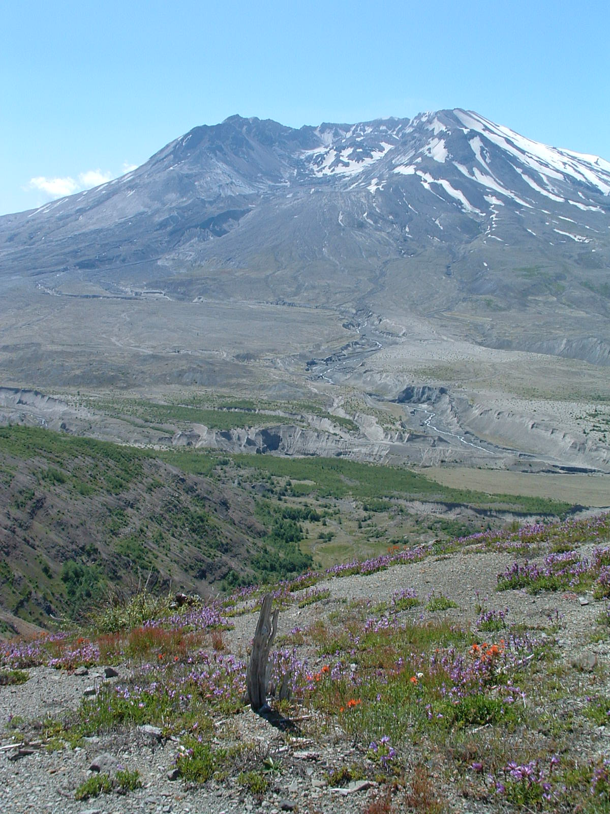
We started at Johnston Ridge Observatory (named for USGS volcanologist David Johnston who died recording data on that ridge) for a St. Helens tutorial and movie. For those who don’t remember, Mt. St. Helens erupted in 1980 after much seismic activity – and some controversy due to mandatory evacuations. Fifty-seven people (known) were killed in an eruption that reduced the volcano from 9600 feet to 8300 feet and instantly wiped out everything within eight miles of the cone. The shockwave spread out from the initial lateral explosion nineteen total miles, leveling acres and acres of old growth forest and killing the animals living within it. After the tutorial, we took some time (and pictures) to soak it all in. Then, while Richard explored about a half mile of the Hummock trail, poorly penned a letter, and slumbered in solitude, I took the three mile loop through the Hummocks, an area carved out by the landslide that occurred when the mountain erupted. What a landscape!! Big steep hills, dense wooded green areas, ponds pocketed in hidden corners . . . little green snakes, lots of quick deer, hundreds of pollywogs, and even the growl of a mountain lion (or a semi’s air brakes?).

A great day (and great view) on the trail at Mt. St. Helens

Along the trail at Mt. St. Helens

Cute pollywogs in a pond at Mt. St. Helens

Mt. St. Helens from our alfresco seats at Fire Mountain Grill near Toutle
After a nice lunch of buffalo burgers (sorry Aunt Diane!) at a restaurant with a great view of the volcano, we made our way slowly (because of Portland traffic) to our current location. Another sternwheeler (they had a sternwheeler festival here over the weekend) has just passed below us, a sure signal that we must go to dinner. Well, that’s about it from Cascade Locks. Hope all is well with you. Oh, and it sure feels weird heading east!!

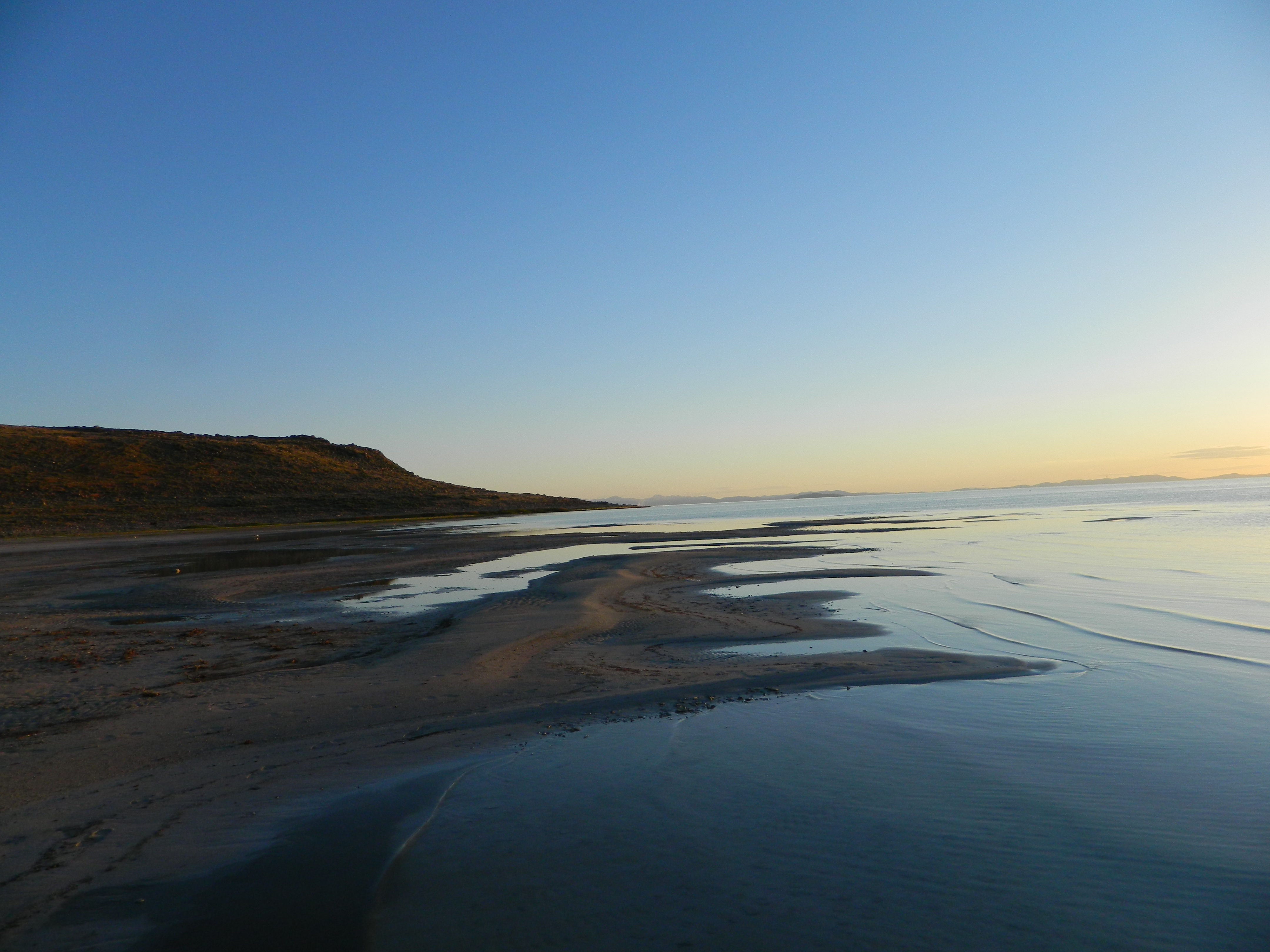
Sunset (once again) on the Columbia from Cascade Locks (once again)


2 responses to “Lewis & Clark: Episode Four”