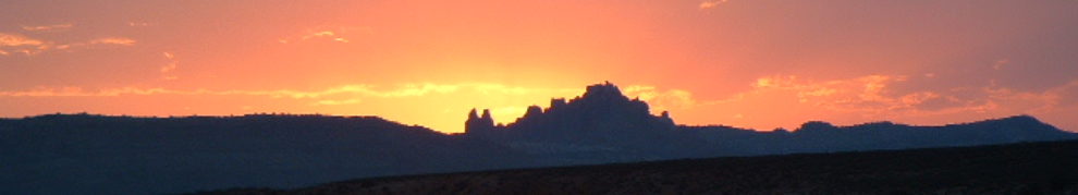
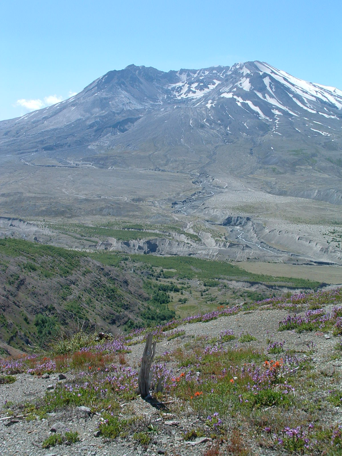
Mt. St. Helens is a uniquely special place, one that the park service has protected and preserved both before and after a catastrophic cataclysm. Once a beautiful, conical dormant volcano, it erupted violently on May 18, 1980, killing at least fifty-seven people while reducing the elevation of the original cone by 1,300 feet (from 9,677 ft. to 8,363 ft.). A shockwave spread out from the initial lateral explosion nineteen total miles, leveling acres and acres of old growth forest and killing the animals living within it. I could tell you more, but instead will provide a link to an older park service film short (about twenty-two minutes and one that was used when the park reopened after the explosion) that tells the story better than I. Visiting today, you should start at the impressive Johnston Ridge Observatory (named for USGS volcanologist David Johnston who died recording data on that ridge) for a St. Helens tutorial and movie. Many people do a driving tour from here, pulling off to take pictures and exploring short jaunts just off the road. Of course, the park does sport a number of very nice hikes, but my favorites include Hummocks (a three mile loop of an area carved out by the landslide that occurred when the mountain erupted), Norway Pass (views of Spirit Lake, the blown-down forest, Mt. Rainier, Mt. Adams, Mt. Hood, and lots of wildflowers), Windy Ridge (short and steep, but perhaps the best views inside the caldera — with bonus views of Mt. Rainier, Mt. Adams, and Mt. Hood), and Ape Cave (lots of animals, bring your headlamp to better explore the inside of the cave).


21 responses to “Images from Mt. St. Helens National Volcanic Monument, Washington”